 Irish Spatial Data Exchange
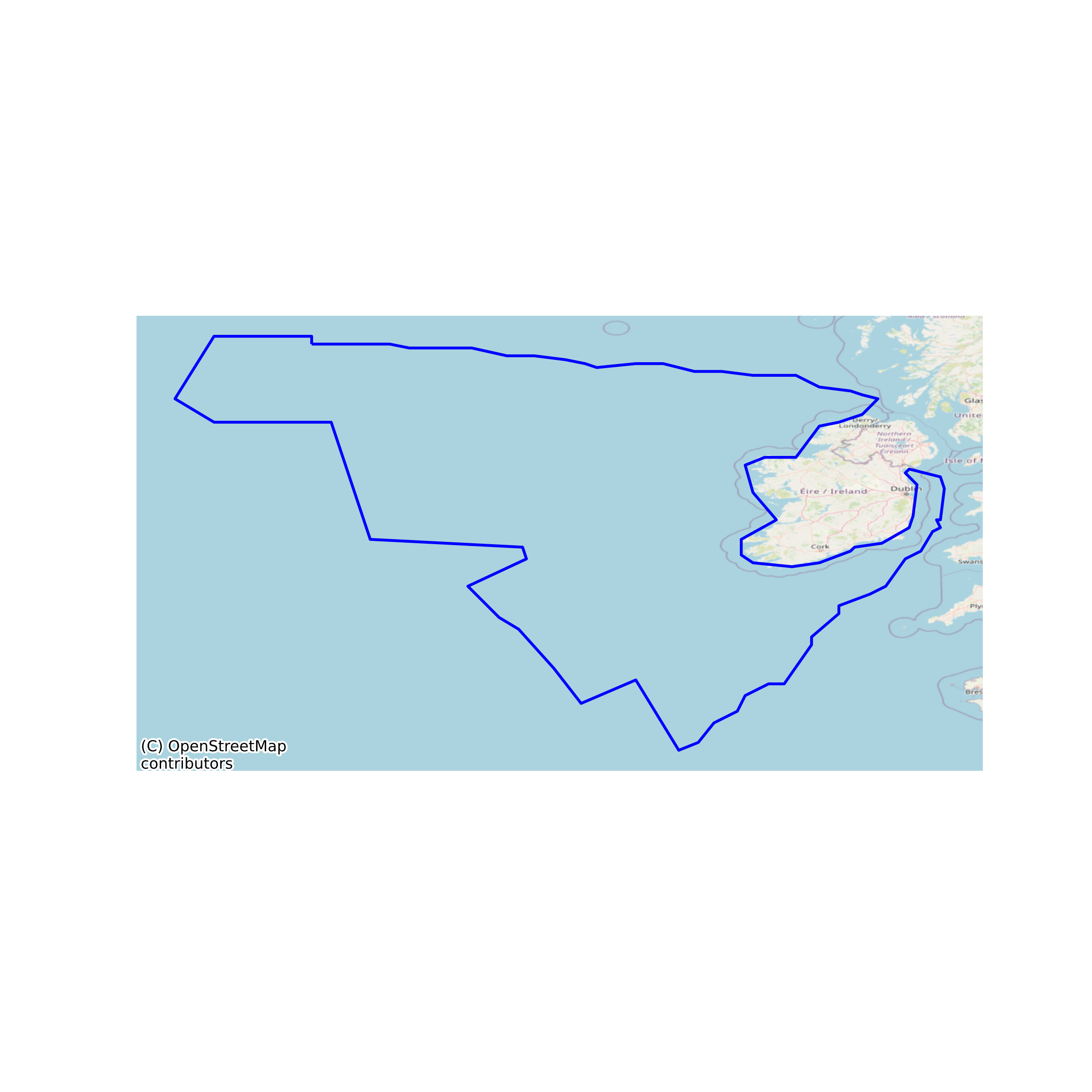
INFOMAR Seabed Sediment Samples
A grab sample is a sample of sediment taken from the seabed. This is a sediment sample database of samples collected to date by INSS, INFOMAR and related projects. They include ADFish, DCU, FEAS, GATEWAYS, IMAGIN, IMES, INIS_HYRDO, JIBS, MESH, SCALLOP, SEAI, UCC. Each sample point has some information recorded during collection including location, sample ID and preliminary description. Where available the shapefile also shows the results of particle size analysis (PSA) carried out on samples from 2004. PSA groups grains into mud, sand and gravel on the basis of their diameter. The relative proportion of the grains in the three categories is given as a percentage and used to classify the sample using the Folk Classification scheme. This analysis is also used to determine if the sample is well or poorly sorted. The database contains information (where available) on: YEAR, SURVEY, VESSEL, SAMPLE_ID, SAMPLER, DATE, TIME, LAT, LONG, DEPTH, RECOVERY, DSCRIPTION, COMMENT, REPORT, MUD, SAND, GRAVEL, PSA_DSCRPT, FOLK_CLASS, SOURCE, IMAGE. None
Simple
- Date (Publication)
- 2017-11-13
- Date (Revision)
- 2023-10-05
- Date (Creation)
- 2017-11-13
- Citation identifier
- ie.marine.data:dataset.901
- Point of contact
-
Organisation name Individual name Electronic mail address Role Geological Survey Ireland
Originator
- Maintenance and update frequency
- As needed
- Use limitation
-
While every effort is made in preparing the dataset no responsibility is accepted by or on behalf of the Marine Institute for any errors, omissions or misleading information. The Marine Institute accepts no responsibility for loss or damage occasioned or claimed to have been occasioned, in part or in full, as a consequence of any person acting, or refraining from acting as a result of a matter contained in this datasets or as a consequence of using this dataset for any purpose whatsoever.
- Use limitation
-
A Creative Commons (CC) license is one of several public copyright licenses that enable the free distribution of an otherwise copyrighted work. A CC license is used when an author wants to give people the right to share, use, and build upon a work that they have created. Under Creative Commons CC BY 4.0 the following is granted: Rights Share — copy and redistribute the material in any medium or format; Adapt — remix, transform, and build upon the material for any purpose, even commercially. The licensor cannot revoke these freedoms as long as you follow the license terms. Requirements Attribution — You must give appropriate credit, provide a link to the license, and indicate if changes were made. You may do so in any reasonable manner, but not in any way that suggests the licensor endorses you or your use. No additional restrictions — You may not apply legal terms or technological measures that legally restrict others from doing anything the license permits.
- Access constraints
- CC%20BY%204.0
- Aggregate Datasetindentifier
- ie.marine.data:dataset.886
- Association Type
- Cross reference
- Initiative Type
- Mission
- Aggregate Datasetindentifier
- ie.marine.data:dataset.932
- Association Type
- Cross reference
- Initiative Type
- Mission
- Aggregate Datasetindentifier
- ie.marine.data:dataset.936
- Association Type
- Cross reference
- Initiative Type
- Mission
- Aggregate Datasetindentifier
- ie.marine.data:dataset.1024
- Association Type
- Cross reference
- Initiative Type
- Mission
- Aggregate Datasetindentifier
- ie.marine.data:dataset.1030
- Association Type
- Cross reference
- Initiative Type
- Mission
- Aggregate Datasetindentifier
- ie.marine.data:dataset.1422
- Association Type
- Cross reference
- Initiative Type
- Mission
- Aggregate Datasetindentifier
- ie.marine.data:dataset.1473
- Association Type
- Cross reference
- Initiative Type
- Mission
- Aggregate Datasetindentifier
- ie.marine.data:dataset.1581
- Association Type
- Cross reference
- Initiative Type
- Mission
- Spatial representation type
- Vector
- Language
- English
- Begin date
- 2002-01-01
- End date
- ..
))
- Reference system identifier
- INSPIRE RS registry / http://www.opengis.net/def/crs/EPSG/0/3857
- Distribution format
-
Name Version Shapefile
Web Map Service
- OnLine resource
-
Protocol Linkage Name WWW:LINK-1.0-http--link
http://www.gsi.ie/
- OnLine resource
-
Protocol Linkage Name WWW:LINK-1.0-http--link
http://www.infomar.ie/
- OnLine resource
-
Protocol Linkage Name WWW:DOWNLOAD-1.0-http--download
https://experience.arcgis.com/experience/3f2815ec89e745d2b65630429d06385c Shapefile
- OnLine resource
-
Protocol Linkage Name OGC:WMS
https://maps.marine.ie/arcgis/rest/services/Infomar/SedimentSamples/MapServer Web Map Service
- Hierarchy level
- Dataset
Conformance result
- Title
-
Commission Regulation (EU) No 1089/2010 of 23 November 2010 implementing Directive 2007/2/EC of the European Parliament and of the Council as regards interoperability of spatial data sets and services
- Date (Publication)
- 2010-12-08
- Explanation
-
See the referenced specification
- Pass
- Yes
- Statement
-
Data supplied by Marine Institute.
Metadata
- File identifier
- ie.marine.data:dataset.901 XML
- Metadata language
- English
- Hierarchy level
- Dataset
- Date stamp
- 2023-10-05
- Metadata standard name
-
ISDI Metadata Profile
- Metadata standard version
-
1.2
- Metadata author
-
Organisation name Individual name Electronic mail address Role Marine Institute
Point of contact
)))
