 Irish Spatial Data Exchange
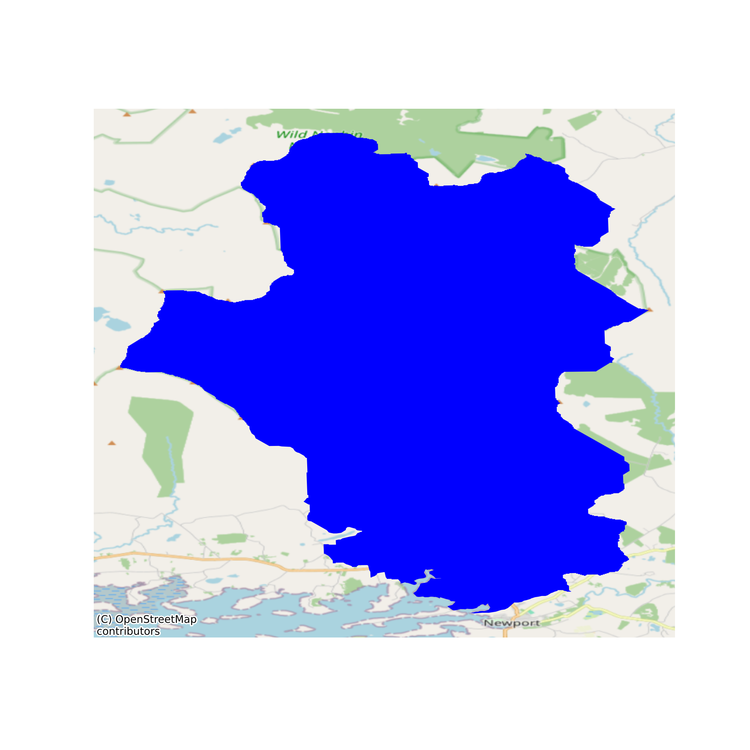
Yellow Eel Fyke Net Survey 1987-2022
This dataset is used to examine a 35 year yellow eel survey to determine relative abundance trends while accounting for survey design, and important physical and operational covariates. Chains of ten, or sometimes 5, fyke nets were fished usually at fixed sites in four lakes on a catchment in the west of Ireland. Captured eels (10,474) were counted for each trap, and weight was recorded for each chain of nets (5,515 net nights fished). Surveys were carried out by Marine Institute staff, and in 2009 and 2010, in collaboration with Inland Fisheries Ireland. The survey was initiated in 1987 to establish a baseline for the eel stock in Burrishoole. The survey was continued as part of the core monitoring programme and has also been integrated into the National eel Monitoring Programme under the EU DCF.
The data are in 3 sheets; Catch data for each net trap and chain of nets, eel measurement data, and survey net location and depth data.
None
Suggested Citation: Poole, R. (2023). Yellow Eel Fyke Net Survey 1987-2022. Marine Institute, Ireland. https://doi.org/10/k2kj
Simple
- Date (Publication)
- 2023-10-20
- Date (Revision)
- 2023-10-25
- Date (Creation)
- 2023-10-20
- Citation identifier
- ie.marine.data:dataset.5130
- Citation identifier
- 10/k2kj
- Other citation details
-
Poole, R. (2023). Yellow Eel Fyke Net Survey 1987-2022. Marine Institute, Ireland. https://doi.org/10/k2kj
- Point of contact
-
Organisation name Individual name Electronic mail address Role Marine Institute
Originator
- Maintenance and update frequency
- As needed
- Use limitation
-
While every effort is made in preparing the dataset no responsibility is accepted by or on behalf of the Marine Institute for any errors, omissions or misleading information. The Marine Institute accepts no responsibility for loss or damage occasioned or claimed to have been occasioned, in part or in full, as a consequence of any person acting, or refraining from acting as a result of a matter contained in this datasets or as a consequence of using this dataset for any purpose whatsoever.
- Use limitation
-
A Creative Commons (CC) license is one of several public copyright licenses that enable the free distribution of an otherwise copyrighted work. A CC license is used when an author wants to give people the right to share, use, and build upon a work that they have created. Under Creative Commons CC BY 4.0 the following is granted: Rights Share — copy and redistribute the material in any medium or format; Adapt — remix, transform, and build upon the material for any purpose, even commercially. The licensor cannot revoke these freedoms as long as you follow the license terms. Requirements Attribution — You must give appropriate credit, provide a link to the license, and indicate if changes were made. You may do so in any reasonable manner, but not in any way that suggests the licensor endorses you or your use. No additional restrictions — You may not apply legal terms or technological measures that legally restrict others from doing anything the license permits.
- Access constraints
- CC%20BY%204.0
- Spatial representation type
- Vector
- Language
- English
- Begin date
- 1987-04-28
- End date
- 2022-08-19
))
- Reference system identifier
- INSPIRE RS registry / http://www.opengis.net/def/crs/EPSG/0/3857
- Distribution format
-
Name Version Excel spreadsheet
- OnLine resource
-
Protocol Linkage Name WWW:DOWNLOAD-1.0-http--download
https://data.marine.ie/data/e98aafa0-29a8-4c09-a0bf-3f9ff7d9da61.zip Excel spreadsheet
- OnLine resource
-
Protocol Linkage Name WWW:LINK-1.0-http--link
http://www.marine.ie
- Hierarchy level
- Dataset
Conformance result
- Title
-
Commission Regulation (EU) No 1089/2010 of 23 November 2010 implementing Directive 2007/2/EC of the European Parliament and of the Council as regards interoperability of spatial data sets and services
- Date (Publication)
- 2010-12-08
- Explanation
-
See the referenced specification
- Pass
- Yes
- Statement
-
Data supplied by Marine Institute.
Metadata
- File identifier
- ie.marine.data:dataset.5130 XML
- Metadata language
- English
- Hierarchy level
- Dataset
- Date stamp
- 2023-10-25
- Metadata standard name
-
ISDI Metadata Profile
- Metadata standard version
-
1.2
- Metadata author
-
Organisation name Individual name Electronic mail address Role Marine Institute
Point of contact
- Dataset URI
-
10.20393/e98aafa0-29a8-4c09-a0bf-3f9ff7d9da61
)))
