 Irish Spatial Data Exchange
Remote sensing reflectance station data CE19009 & CE19010
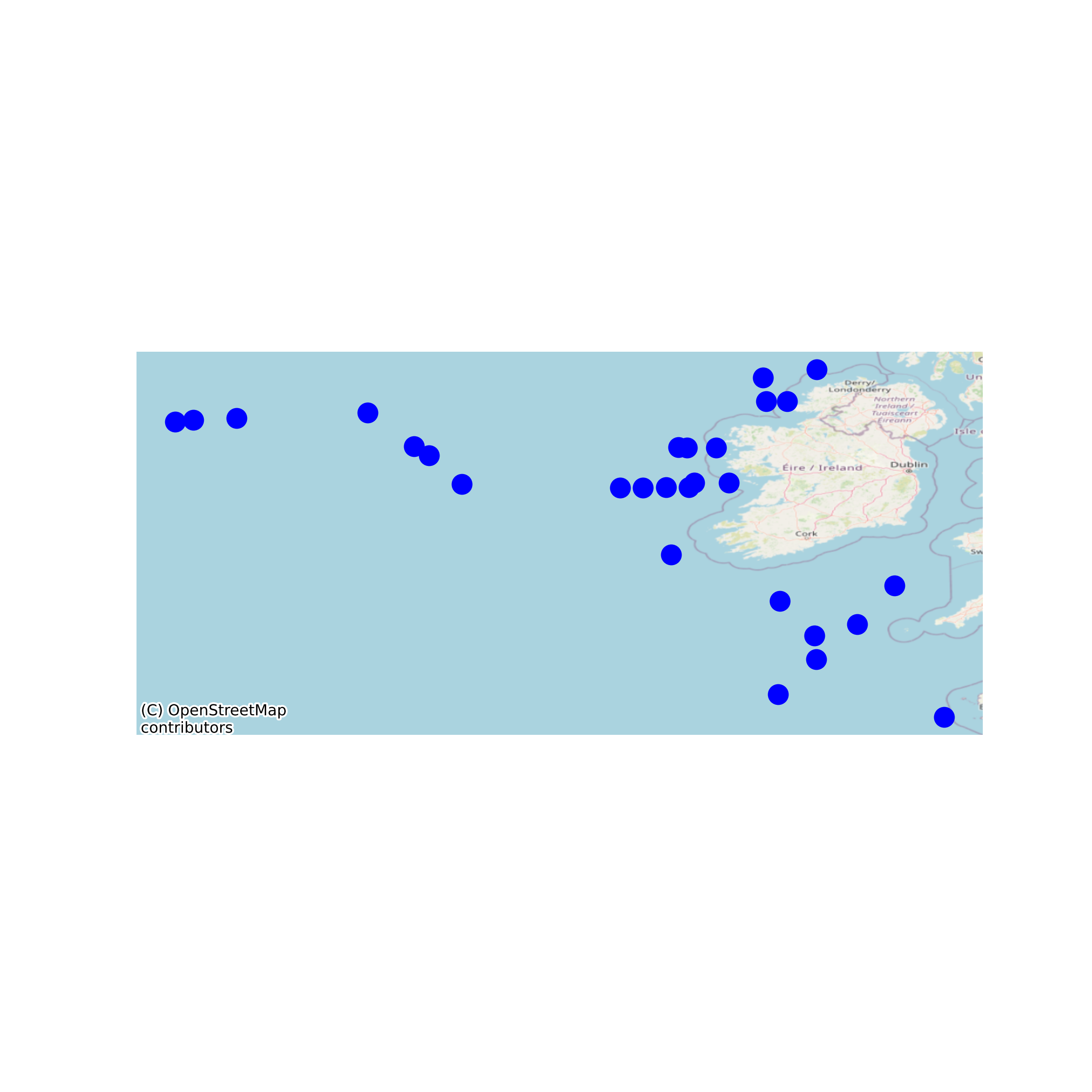
This dataset of remote sensing reflectance measurements was collected as part of a Cullen Fellowship PhD between the National University of Ireland, Galway and the Marine Institute. The data was collected on the RV Celtic Explorer during scientific cruises CE19009 and CE19010 in the North East Atlantic from May to July 2019. The data was collected from TriOS RAMSES-ARC Hyperspectral and TriOS RAMSES-ACC-VIS Hyperspectral UV-VIS Radiometers using the TriOS RAMSES MSDA_XE software. These data are the subset of data from stations during daylight hours from these cruises. Remote sensing reflectance measurements were derived using a five step scripted process in Mathworks (Matlab). None
Suggested Citation: Jordan, Catherine; Croot, Peter; Cusack, Caroline; Wollschlaeger, Jochen. (2022) Remote sensing reflectance station data CE19009 & CE19010. Marine Institute, Ireland. doi:10/hwjh.
Simple
- Date (Publication)
- 2022-04-22
- Date (Revision)
- 2022-05-26
- Date (Creation)
- 2022-04-22
- Citation identifier
- ie.marine.data:dataset.4908
- Citation identifier
- 10/hwjh
- Other citation details
-
Jordan, Catherine; Croot, Peter; Cusack, Caroline; Wollschlaeger, Jochen. (2022) Remote sensing reflectance station data CE19009 & CE19010. Marine Institute, Ireland. doi:10/hwjh.
- Point of contact
-
Organisation name Individual name Electronic mail address Role Marine Institute
Originator University of Galway
Originator
- Maintenance and update frequency
- As needed
- Use limitation
-
While every effort is made in preparing the dataset no responsibility is accepted by or on behalf of the Marine Institute for any errors, omissions or misleading information. The Marine Institute accepts no responsibility for loss or damage occasioned or claimed to have been occasioned, in part or in full, as a consequence of any person acting, or refraining from acting as a result of a matter contained in this datasets or as a consequence of using this dataset for any purpose whatsoever.
- Use limitation
-
A Creative Commons (CC) license is one of several public copyright licenses that enable the free distribution of an otherwise copyrighted work. A CC license is used when an author wants to give people the right to share, use, and build upon a work that they have created. Under Creative Commons CC BY 4.0 the following is granted: Rights Share — copy and redistribute the material in any medium or format; Adapt — remix, transform, and build upon the material for any purpose, even commercially. The licensor cannot revoke these freedoms as long as you follow the license terms. Requirements Attribution — You must give appropriate credit, provide a link to the license, and indicate if changes were made. You may do so in any reasonable manner, but not in any way that suggests the licensor endorses you or your use. No additional restrictions — You may not apply legal terms or technological measures that legally restrict others from doing anything the license permits.
- Access constraints
- CC%20BY%204.0
- Spatial representation type
- Grid
- Language
- English
- Begin date
- 2019-05-24
- End date
- 2019-07-24
))
- Reference system identifier
- INSPIRE RS registry / http://www.opengis.net/def/crs/EPSG/0/4326
- Distribution format
-
Name Version CSV
CSV
NetCDF
- OnLine resource
-
Protocol Linkage Name WWW:DOWNLOAD-1.0-http--download
https://erddap.marine.ie/erddap/tabledap/6410adf9_8a4e_44d3_a388_40d85827b69.csv CSV
- OnLine resource
- OnLine resource
-
Protocol Linkage Name WWW:LINK-1.0-http--link
http://www.marine.ie
- OnLine resource
-
Protocol Linkage Name WWW:LINK-1.0-http--link
https://www.universityofgalway.ie/
- OnLine resource
-
Protocol Linkage Name WWW:DOWNLOAD-1.0-http--download
https://erddap.marine.ie/erddap/tabledap/6410adf9_8a4e_44d3_a388_40d85827b69.ncCFMA NetCDF
- Hierarchy level
- Dataset
Conformance result
- Title
-
Commission Regulation (EU) No 1089/2010 of 23 November 2010 implementing Directive 2007/2/EC of the European Parliament and of the Council as regards interoperability of spatial data sets and services
- Date (Publication)
- 2010-12-08
- Explanation
-
See the referenced specification
- Pass
- Yes
- Statement
-
Data supplied by Marine Institute.
Metadata
- File identifier
- ie.marine.data:dataset.4908 XML
- Metadata language
- English
- Hierarchy level
- Dataset
- Date stamp
- 2022-05-26
- Metadata standard name
-
ISDI Metadata Profile
- Metadata standard version
-
1.2
- Metadata author
-
Organisation name Individual name Electronic mail address Role Marine Institute
Point of contact
- Dataset URI
-
10.20393/6410adf9-8a4e-44d3-a388-40d85827b696
)))
