 Irish Spatial Data Exchange
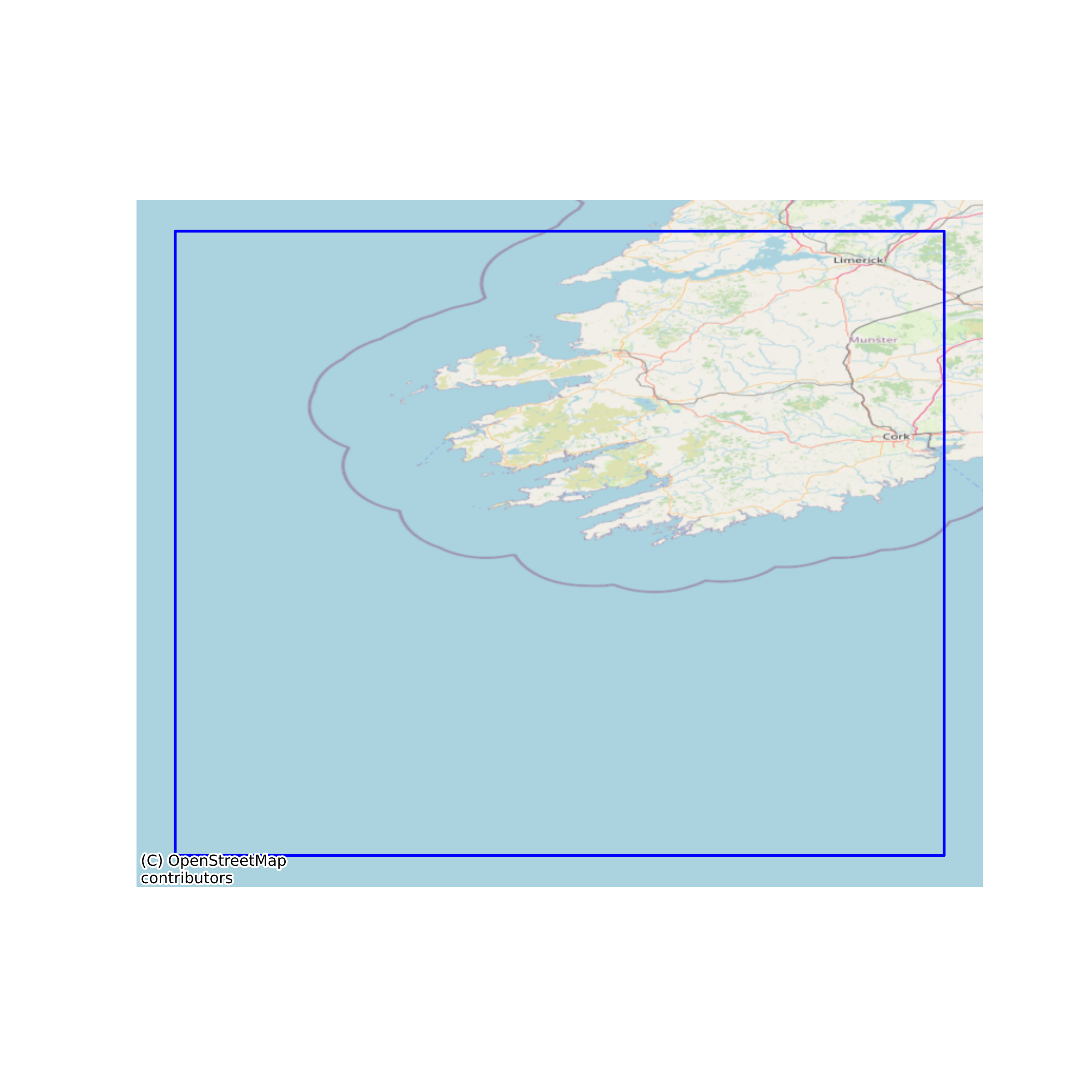
CoClime - Abundance of phytoplankton (Dinophysis acuminata), Southwest Ireland - future prediction (2017 - 2035)
This is the output of GBM (Gradient Boosting Model) analyses of D. acuminata abundance data done by MI OCIS and CoCliME project. This output dataset shows abundance of D. acuminata in the future (2017 - 2035) in SW Ireland. The analyses was performed in R 3.6.3, with the packages tidyverse 1.3.0 for data handling and visualisation, and xgboost 1.2.0.1 for boosted regression analyses. The dataset used for analyses is available on MI data catalogue ( http://data.marine.ie/geonetwork/srv/eng/catalog.search#/metadata/ie.marine.data:dataset.4445) and the dataset used for prediction is requested to be included in MI data catalogue ([20]. CDF-t Climate run (Climate_run_corr.rds) in CoCliME model SOP). This dataset is used to visualise the prediction on R Shiny application for present period ( https://marine-institute-ireland.shinyapps.io/D_acuminata_abundance/). None
Suggested Citation: Yamanaka, Tsuyuko; Cusack, Caroline; Nolan, Glenn; Clarke, Dave. (2022) CoClime - Abundance of phytoplankton (Dinophysis acuminata), Southwest Ireland - future prediction (2017 - 2035). Marine Institute, Ireland. doi:10/hvs8.
Simple
- Date (Publication)
- 2022-01-14
- Date (Revision)
- 2023-03-30
- Date (Creation)
- 2022-01-14
- Citation identifier
- ie.marine.data:dataset.4888
- Citation identifier
- 10/hvs8
- Other citation details
-
Yamanaka, Tsuyuko; Cusack, Caroline; Nolan, Glenn; Clarke, Dave. (2022) CoClime - Abundance of phytoplankton (Dinophysis acuminata), Southwest Ireland - future prediction (2017 - 2035). Marine Institute, Ireland. doi:10/hvs8.
- Point of contact
-
Organisation name Individual name Electronic mail address Role Marine Institute
Originator
- Maintenance and update frequency
- As needed
- Marine Strategy Framework Directive indicators 2010/477/EU
-
- Distributional range
- Distributional pattern within the range
- Population abundance and/or biomass
- Composition and relative proportions of ecosystem components
- Trends in abundance, temporal occurrence and spatial distribution of non-indigenous species
- Ratio between invasive non-indigenous species and native species
- Abundance trends of functionally important selected groups/species
- Species shift in floristic composition caused by human activities
- Use limitation
-
While every effort is made in preparing the dataset no responsibility is accepted by or on behalf of the Marine Institute for any errors, omissions or misleading information. The Marine Institute accepts no responsibility for loss or damage occasioned or claimed to have been occasioned, in part or in full, as a consequence of any person acting, or refraining from acting as a result of a matter contained in this datasets or as a consequence of using this dataset for any purpose whatsoever.
- Use limitation
-
A Creative Commons (CC) license is one of several public copyright licenses that enable the free distribution of an otherwise copyrighted work. A CC license is used when an author wants to give people the right to share, use, and build upon a work that they have created. Under Creative Commons CC BY 4.0 the following is granted: Rights Share — copy and redistribute the material in any medium or format; Adapt — remix, transform, and build upon the material for any purpose, even commercially. The licensor cannot revoke these freedoms as long as you follow the license terms. Requirements Attribution — You must give appropriate credit, provide a link to the license, and indicate if changes were made. You may do so in any reasonable manner, but not in any way that suggests the licensor endorses you or your use. No additional restrictions — You may not apply legal terms or technological measures that legally restrict others from doing anything the license permits.
- Access constraints
- CC%20BY%204.0
- Spatial representation type
- Vector
- Language
- English
- Begin date
- 2017-01-01
- End date
- ..
))
- Reference system identifier
- INSPIRE RS registry / http://www.opengis.net/def/crs/EPSG/0/3857
- Distribution format
-
Name Version NetCDF
- OnLine resource
-
Protocol Linkage Name WWW:LINK-1.0-http--link
http://www.marine.ie
- OnLine resource
-
Protocol Linkage Name WWW:LINK-1.0-http--link
https://www.coclime.eu/About
- OnLine resource
-
Protocol Linkage Name WWW:DOWNLOAD-1.0-http--download
https://data.marine.ie/data/CoClime.zip NetCDF
- Hierarchy level
- Dataset
Conformance result
- Title
-
Commission Regulation (EU) No 1089/2010 of 23 November 2010 implementing Directive 2007/2/EC of the European Parliament and of the Council as regards interoperability of spatial data sets and services
- Date (Publication)
- 2010-12-08
- Explanation
-
See the referenced specification
- Pass
- Yes
- Statement
-
Data supplied by Marine Institute.
Metadata
- File identifier
- ie.marine.data:dataset.4888 XML
- Metadata language
- English
- Hierarchy level
- Dataset
- Date stamp
- 2023-03-30
- Metadata standard name
-
ISDI Metadata Profile
- Metadata standard version
-
1.2
- Metadata author
-
Organisation name Individual name Electronic mail address Role Marine Institute
Point of contact
- Dataset URI
-
10.20393/e277dfb3-260d-418b-b320-cd1cb0131bf6
)))
