 Irish Spatial Data Exchange
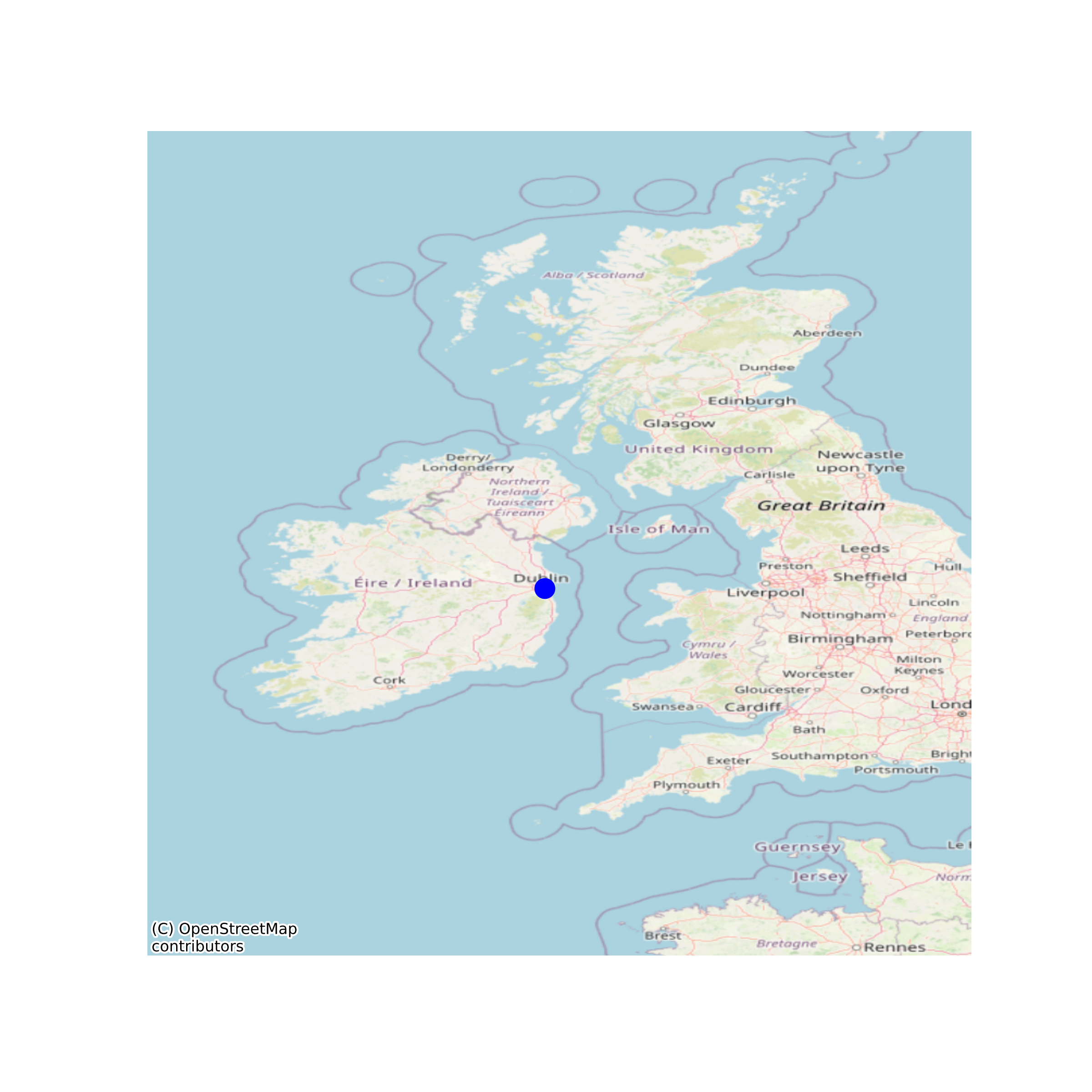
Dublin Bay Biosphere
Biospheres are places where nature and culture connect. In 1981, UNESCO recognised the importance of Dublin Bay by designating North Bull Island as a Biosphere because of its rare and internationally important habitats and species of wildlife. To support sustainable development, UNESCO’s concept of a Biosphere has evolved to include not just areas of ecological value but also the areas around them and the communities that live and work within these areas. There have since been additional international and national designations, covering much of Dublin Bay, to ensure the protection of its water quality and biodiversity. To fulfil these broader management aims for the ecosystem, the Biosphere was expanded in 2015. The Biosphere now covers Dublin Bay, reflecting its significant environmental, economic, cultural and tourism importance, and extends to over 300km². Over 300,000 people live within the newly enlarged Biosphere. Dublin Bay Biosphere contains three different zones, which are managed in different ways: 1. The core zone of Dublin Bay Biosphere comprises 50km² of areas of high natural value. Key areas include the Tolka and Baldoyle Estuaries, Booterstown Marsh, Howth Head, North Bull Island, Dalkey Island and Ireland’s Eye. 2. The buffer zone comprises 82km² of public and private green spaces such as parks, greenbelts and golf courses, which surround and adjoin the core zones. 3. The transition zone comprises 173km² and forms the outer part of the Biosphere. It includes residential areas, harbours, ports and industrial and commercial areas. None
Simple
- Date (Publication)
- 2020-10-14
- Date (Revision)
- 2020-10-14
- Date (Creation)
- 2020-10-14
- Citation identifier
- ie.marine.data:dataset.4408
- Point of contact
-
Organisation name Individual name Electronic mail address Role Dublin Bay Biosphere
Originator
- Maintenance and update frequency
- As needed
- Use limitation
-
While every effort is made in preparing the dataset no responsibility is accepted by or on behalf of the Marine Institute for any errors, omissions or misleading information. The Marine Institute accepts no responsibility for loss or damage occasioned or claimed to have been occasioned, in part or in full, as a consequence of any person acting, or refraining from acting as a result of a matter contained in this datasets or as a consequence of using this dataset for any purpose whatsoever.
- Use limitation
-
A Creative Commons (CC) license is one of several public copyright licenses that enable the free distribution of an otherwise copyrighted work. A CC license is used when an author wants to give people the right to share, use, and build upon a work that they have created. Under Creative Commons CC BY 4.0 the following is granted: Rights Share — copy and redistribute the material in any medium or format; Adapt — remix, transform, and build upon the material for any purpose, even commercially. The licensor cannot revoke these freedoms as long as you follow the license terms. Requirements Attribution — You must give appropriate credit, provide a link to the license, and indicate if changes were made. You may do so in any reasonable manner, but not in any way that suggests the licensor endorses you or your use. No additional restrictions — You may not apply legal terms or technological measures that legally restrict others from doing anything the license permits.
- Access constraints
- CC%20BY%204.0
- Spatial representation type
- Grid
- Language
- English
- Begin date
- 2015-12-01
- End date
- ..
))
- Reference system identifier
- INSPIRE RS registry / http://www.opengis.net/def/crs/EPSG/0/3857
- Distribution format
-
Name Version Web Map Service
- OnLine resource
-
Protocol Linkage Name WWW:LINK-1.0-http--link
https://www.dublinbaybiosphere.ie
- OnLine resource
-
Protocol Linkage Name OGC:WMS
https://atlas.marine.ie/ Web Map Service
- Hierarchy level
- Dataset
Conformance result
- Title
-
Commission Regulation (EU) No 1089/2010 of 23 November 2010 implementing Directive 2007/2/EC of the European Parliament and of the Council as regards interoperability of spatial data sets and services
- Date (Publication)
- 2010-12-08
- Explanation
-
See the referenced specification
- Pass
- Yes
- Statement
-
Data supplied by Marine Institute.
Metadata
- File identifier
- ie.marine.data:dataset.4408 XML
- Metadata language
- English
- Hierarchy level
- Dataset
- Date stamp
- 2020-10-14
- Metadata standard name
-
ISDI Metadata Profile
- Metadata standard version
-
1.2
- Metadata author
-
Organisation name Individual name Electronic mail address Role Marine Institute
Point of contact
)))
