 Irish Spatial Data Exchange
Biological, behavioural and genetic data of brown trout (Salmo trutta) in lacustrine, lake-inflow and lake-outflow habitats
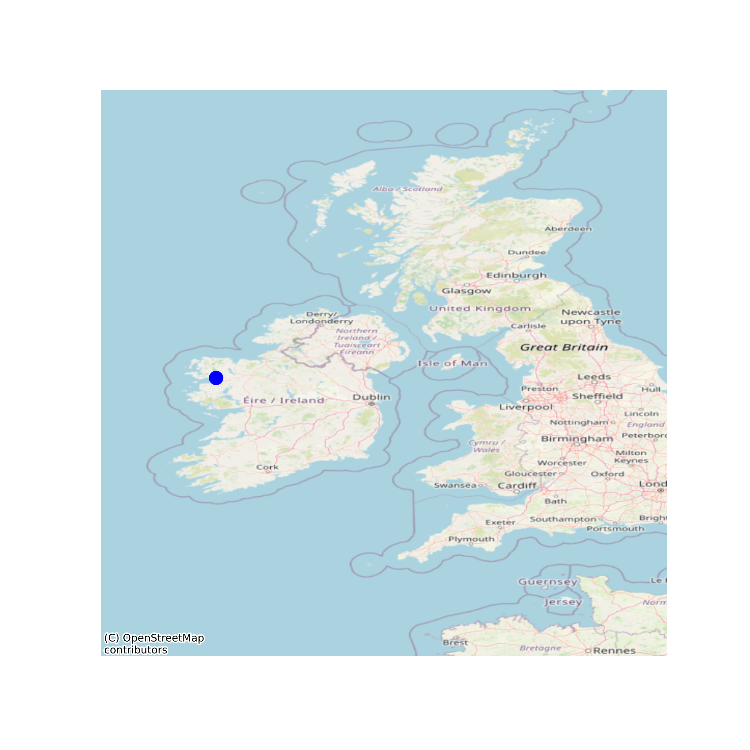
This dataset includes data files and script files for analysing population genetic structure, gene flow, lake growth rates and putative reproductive migratory behaviour of brown trout between lake habitat and both inflowing and outflowing spawning streams. The lake in question is Bunaveela Lough in the North of the Burrishoole catchment. The inflowing stream is the Fiddaunveela and the outflowing stream is the Goulaun. Genetic data generally include 14 microsatellite loci. Temperature data are in C. Fish lengths are in mm and distances are in m. None
Suggested Citation: Finlay, Ross; McGinnity, Philip; Coughlan, Jamie; Kaufmann, Joshka; de Eyto, Elvira; Dillane, Mary; Poole, Russell; Rogan, Ger. (2019) Biological, behavioural and genetic data of brown trout (Salmo trutta) in lacustrine, lake-inflow and lake-outflow habitats. Marine Institute, Ireland. doi:10/df6b.
Simple
- Date (Publication)
- 2019-11-28
- Date (Revision)
- 2020-01-07
- Date (Creation)
- 2019-11-28
- Citation identifier
- ie.marine.data:dataset.3995
- Citation identifier
- 10/df6b
- Other citation details
-
Finlay, Ross; McGinnity, Philip; Coughlan, Jamie; Kaufmann, Joshka; de Eyto, Elvira; Dillane, Mary; Poole, Russell; Rogan, Ger. (2019) Biological, behavioural and genetic data of brown trout (Salmo trutta) in lacustrine, lake-inflow and lake-outflow habitats. Marine Institute, Ireland. doi:10/df6b.
- Point of contact
-
Organisation name Individual name Electronic mail address Role Marine Institute
Originator University College Cork
Originator
- Maintenance and update frequency
- As needed
- Use limitation
-
While every effort is made in preparing the dataset no responsibility is accepted by or on behalf of the Marine Institute for any errors, omissions or misleading information. The Marine Institute accepts no responsibility for loss or damage occasioned or claimed to have been occasioned, in part or in full, as a consequence of any person acting, or refraining from acting as a result of a matter contained in this datasets or as a consequence of using this dataset for any purpose whatsoever.
- Use limitation
-
A Creative Commons (CC) license is one of several public copyright licenses that enable the free distribution of an otherwise copyrighted work. A CC license is used when an author wants to give people the right to share, use, and build upon a work that they have created. Under Creative Commons CC BY 4.0 the following is granted: Rights Share — copy and redistribute the material in any medium or format; Adapt — remix, transform, and build upon the material for any purpose, even commercially. The licensor cannot revoke these freedoms as long as you follow the license terms. Requirements Attribution — You must give appropriate credit, provide a link to the license, and indicate if changes were made. You may do so in any reasonable manner, but not in any way that suggests the licensor endorses you or your use. No additional restrictions — You may not apply legal terms or technological measures that legally restrict others from doing anything the license permits.
- Access constraints
- CC%20BY%204.0
- Spatial representation type
- Vector
- Language
- English
- Begin date
- 1991-01-01
- End date
- 2019-11-30
))
- Reference system identifier
- INSPIRE RS registry / http://www.opengis.net/def/crs/EPSG/0/3857
- Distribution format
-
Name Version CSV
- OnLine resource
-
Protocol Linkage Name WWW:DOWNLOAD-1.0-http--download
https://data.marine.ie/data/e9395f08-67cb-422a-9ed6-dc16ad5613c8.zip CSV
- OnLine resource
-
Protocol Linkage Name WWW:LINK-1.0-http--link
http://www.marine.ie
- OnLine resource
-
Protocol Linkage Name WWW:LINK-1.0-http--link
https://www.ucc.ie/en/
- Hierarchy level
- Dataset
Conformance result
- Title
-
Commission Regulation (EU) No 1089/2010 of 23 November 2010 implementing Directive 2007/2/EC of the European Parliament and of the Council as regards interoperability of spatial data sets and services
- Date (Publication)
- 2010-12-08
- Explanation
-
See the referenced specification
- Pass
- Yes
- Statement
-
Data supplied by Marine Institute.
Metadata
- File identifier
- ie.marine.data:dataset.3995 XML
- Metadata language
- English
- Hierarchy level
- Dataset
- Date stamp
- 2020-01-07
- Metadata standard name
-
ISDI Metadata Profile
- Metadata standard version
-
1.2
- Metadata author
-
Organisation name Individual name Electronic mail address Role Marine Institute
Point of contact
- Dataset URI
-
10.20393/e9395f08-67cb-422a-9ed6-dc16ad5613c8
)))
