 Irish Spatial Data Exchange
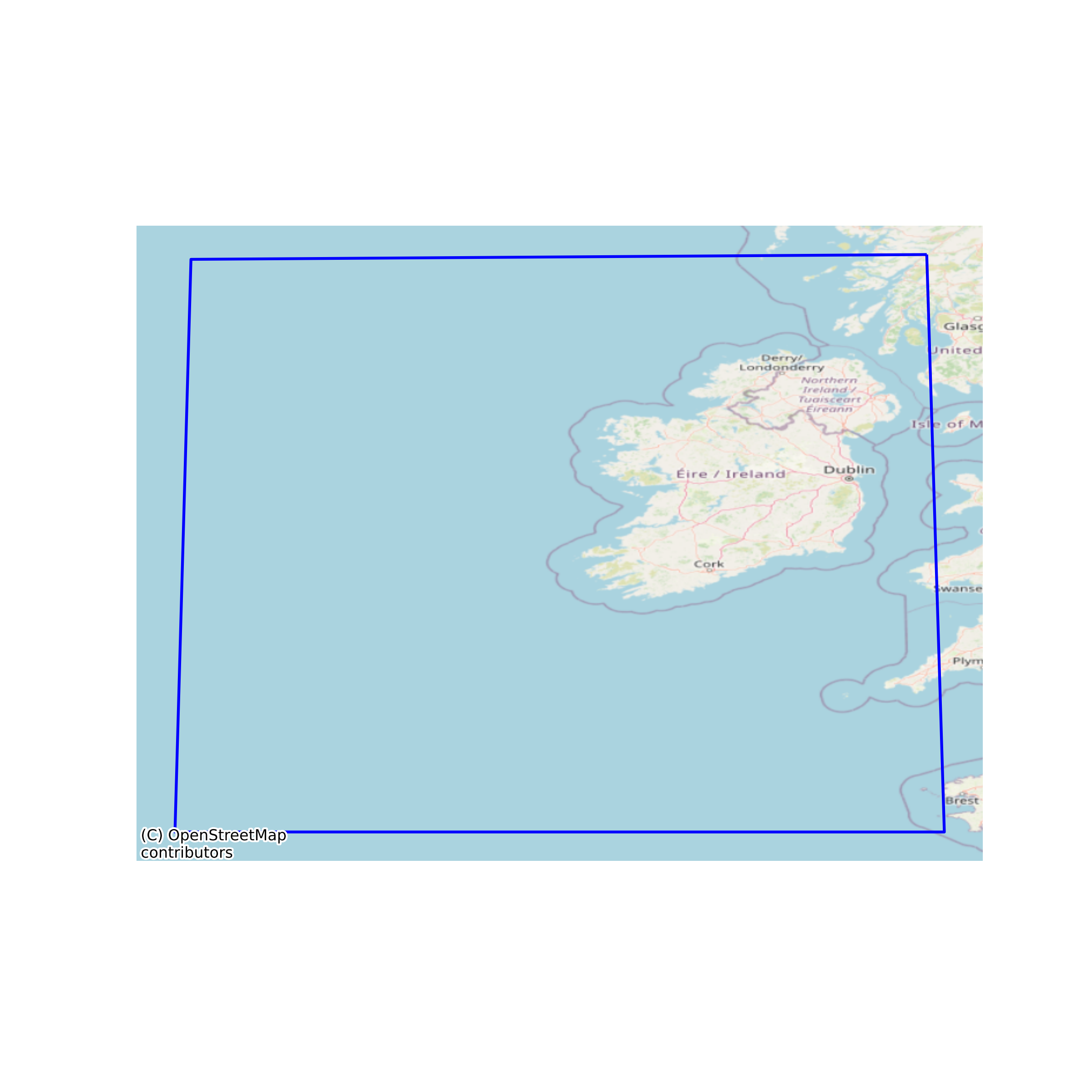
Irish National Marine Planning Framework (NMPF) Area
The National Marine Planning Framework (NMPF) Area is the geographic area management and reporting unit for Ireland's NMPF reporting. The NMPF sits at the top of the hierarchy of plans and sectoral policies for the marine area of Ireland. Marine planning brings together multiple users of the ocean to make informed and coordinated decisions on the sustainable use of marine resources. EU Directive 2014/89/EU, establishing a framework for maritime spatial planning, was adopted in July 2014. The European Union (Framework for Maritime Spatial Planning) Regulations 2016 were signed into law on 29th June 2016. The NMPF is managed by the Department of Housing Planning and Local Government (DHPLG) with monitoring support provided by the Marine Institute. The area applies from the High Water Mark in Ireland’s coastal waters, territorial seas, exclusive economic zone and in designated parts of the continental shelf. Ireland’s marine area totals over 488,000 Km2. None
Simple
- Date (Publication)
- 2019-11-15
- Date (Revision)
- 2023-06-01
- Date (Creation)
- 2019-11-15
- Citation identifier
- ie.marine.data:dataset.3985
- Point of contact
-
Organisation name Individual name Electronic mail address Role Department of Housing, Local Government and Heritage
Originator
- Maintenance and update frequency
- As needed
- Use limitation
-
While every effort is made in preparing the dataset no responsibility is accepted by or on behalf of the Marine Institute for any errors, omissions or misleading information. The Marine Institute accepts no responsibility for loss or damage occasioned or claimed to have been occasioned, in part or in full, as a consequence of any person acting, or refraining from acting as a result of a matter contained in this datasets or as a consequence of using this dataset for any purpose whatsoever.
- Use limitation
-
A Creative Commons (CC) license is one of several public copyright licenses that enable the free distribution of an otherwise copyrighted work. A CC license is used when an author wants to give people the right to share, use, and build upon a work that they have created. Under Creative Commons CC BY 4.0 the following is granted: Rights Share — copy and redistribute the material in any medium or format; Adapt — remix, transform, and build upon the material for any purpose, even commercially. The licensor cannot revoke these freedoms as long as you follow the license terms. Requirements Attribution — You must give appropriate credit, provide a link to the license, and indicate if changes were made. You may do so in any reasonable manner, but not in any way that suggests the licensor endorses you or your use. No additional restrictions — You may not apply legal terms or technological measures that legally restrict others from doing anything the license permits.
- Access constraints
- CC%20BY%204.0
- Spatial representation type
- Grid
- Language
- English
- Begin date
- 2016-06-28
- End date
- ..
))
- Reference system identifier
- INSPIRE RS registry / http://www.opengis.net/def/crs/EPSG/0/3857
- Distribution format
-
Name Version Web Map Service
- OnLine resource
-
Protocol Linkage Name WWW:LINK-1.0-http--link
https://www.gov.ie/en/organisation/department-of-housing-local-government-and-heritage/
- OnLine resource
-
Protocol Linkage Name OGC:WMS
https://atlas.marine.ie/arcgis/services/01_Maritime_Boundaries/MapServer/WMSServer?request=GetCapabilities&service=WMS Web Map Service
- Hierarchy level
- Dataset
Conformance result
- Title
-
Commission Regulation (EU) No 1089/2010 of 23 November 2010 implementing Directive 2007/2/EC of the European Parliament and of the Council as regards interoperability of spatial data sets and services
- Date (Publication)
- 2010-12-08
- Explanation
-
See the referenced specification
- Pass
- Yes
- Statement
-
Data supplied by Marine Institute.
Metadata
- File identifier
- ie.marine.data:dataset.3985 XML
- Metadata language
- English
- Hierarchy level
- Dataset
- Date stamp
- 2023-06-01
- Metadata standard name
-
ISDI Metadata Profile
- Metadata standard version
-
1.2
- Metadata author
-
Organisation name Individual name Electronic mail address Role Marine Institute
Point of contact
)))
