 Irish Spatial Data Exchange
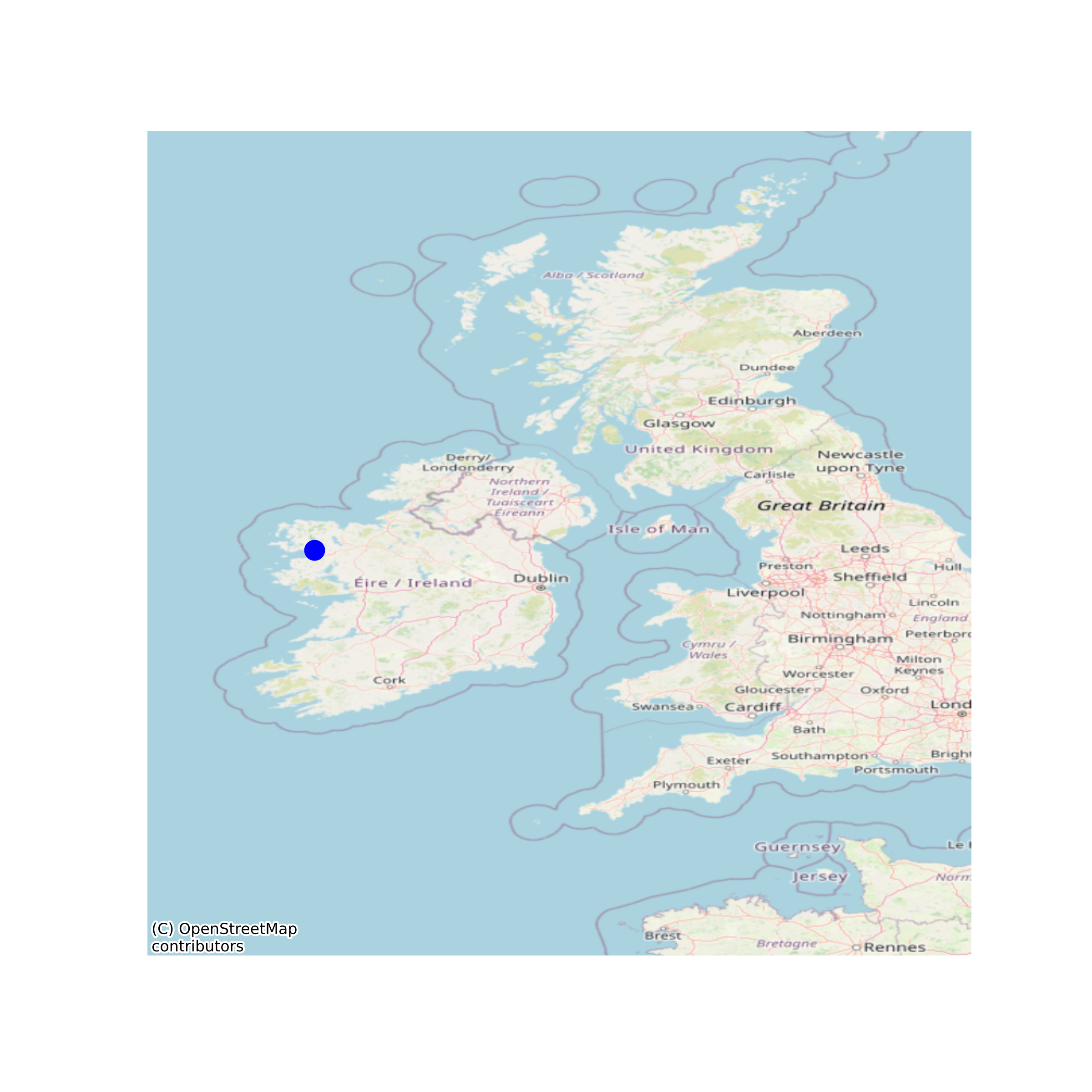
Yellow Eel Stock Monitoring [Lake Fyke Net]
Yellow eel stock monitoring is integral to gaining an understanding of the current status of local stocks and for informing models of escapement. In addition, such monitoring provides a means of evaluating post-management changes and forecasting the effects of these changes on silver eel escapement. Data includes the following: Annual indices of Catch per Unit Effort (CPUE), Stock Structure, PIT tag, Eel size, Silvering rate, Age and Parasite status. The Burrishoole lakes Feeagh and Bunaveela have been incorporated into the National Eel Survey during 2009-2011. Data on eels has been collected since 1973. Data on eels has been collected via monitoring of stocks in the lakes of the catchment. The monitoring strategy aims to determine, at a local scale, an estimate of relative stock density, the stocks length, age and sex profiles, and the proportion of each length class that migrate as silvers each year. Establish a means of assessing the yellow eel stock on a long term basis. Provide data for the development of local stock assessment models. Data collected and maintained by the Newport facilities team of the Marine Institute (Ireland). Dataset complete for periods surveyed. None
Simple
- Date (Publication)
- 2018-11-22
- Date (Revision)
- 2020-10-01
- Date (Creation)
- 2018-11-22
- Citation identifier
- ie.marine.data:dataset.2935
- Point of contact
-
Organisation name Individual name Electronic mail address Role Marine Institute
Originator
- Maintenance and update frequency
- As needed
- Use limitation
-
While every effort is made in preparing the dataset no responsibility is accepted by or on behalf of the Marine Institute for any errors, omissions or misleading information. The Marine Institute accepts no responsibility for loss or damage occasioned or claimed to have been occasioned, in part or in full, as a consequence of any person acting, or refraining from acting as a result of a matter contained in this datasets or as a consequence of using this dataset for any purpose whatsoever.
- Use limitation
-
A Creative Commons (CC) license is one of several public copyright licenses that enable the free distribution of an otherwise copyrighted work. A CC license is used when an author wants to give people the right to share, use, and build upon a work that they have created. Under Creative Commons CC BY 4.0 the following is granted: Rights Share — copy and redistribute the material in any medium or format; Adapt — remix, transform, and build upon the material for any purpose, even commercially. The licensor cannot revoke these freedoms as long as you follow the license terms. Requirements Attribution — You must give appropriate credit, provide a link to the license, and indicate if changes were made. You may do so in any reasonable manner, but not in any way that suggests the licensor endorses you or your use. No additional restrictions — You may not apply legal terms or technological measures that legally restrict others from doing anything the license permits.
- Access constraints
- CC%20BY%204.0
- Spatial representation type
- Vector
- Language
- English
- Begin date
- 1973-01-01
- End date
- ..
))
- Reference system identifier
- INSPIRE RS registry / http://www.opengis.net/def/crs/EPSG/0/3857
- Distribution format
-
Name Version CSV
- OnLine resource
-
Protocol Linkage Name WWW:DOWNLOAD-1.0-http--download
https://www.marine.ie/Home/marine-institute-request-digital-data CSV
- OnLine resource
-
Protocol Linkage Name WWW:LINK-1.0-http--link
http://www.marine.ie
- Hierarchy level
- Dataset
Conformance result
- Title
-
Commission Regulation (EU) No 1089/2010 of 23 November 2010 implementing Directive 2007/2/EC of the European Parliament and of the Council as regards interoperability of spatial data sets and services
- Date (Publication)
- 2010-12-08
- Explanation
-
See the referenced specification
- Pass
- Yes
- Statement
-
Data supplied by Marine Institute.
Metadata
- File identifier
- ie.marine.data:dataset.2935 XML
- Metadata language
- English
- Hierarchy level
- Dataset
- Date stamp
- 2020-10-01
- Metadata standard name
-
ISDI Metadata Profile
- Metadata standard version
-
1.2
- Metadata author
-
Organisation name Individual name Electronic mail address Role Marine Institute
Point of contact
)))
