 Irish Spatial Data Exchange
Burrishoole catchment water colour measurements, and associated environmental drivers
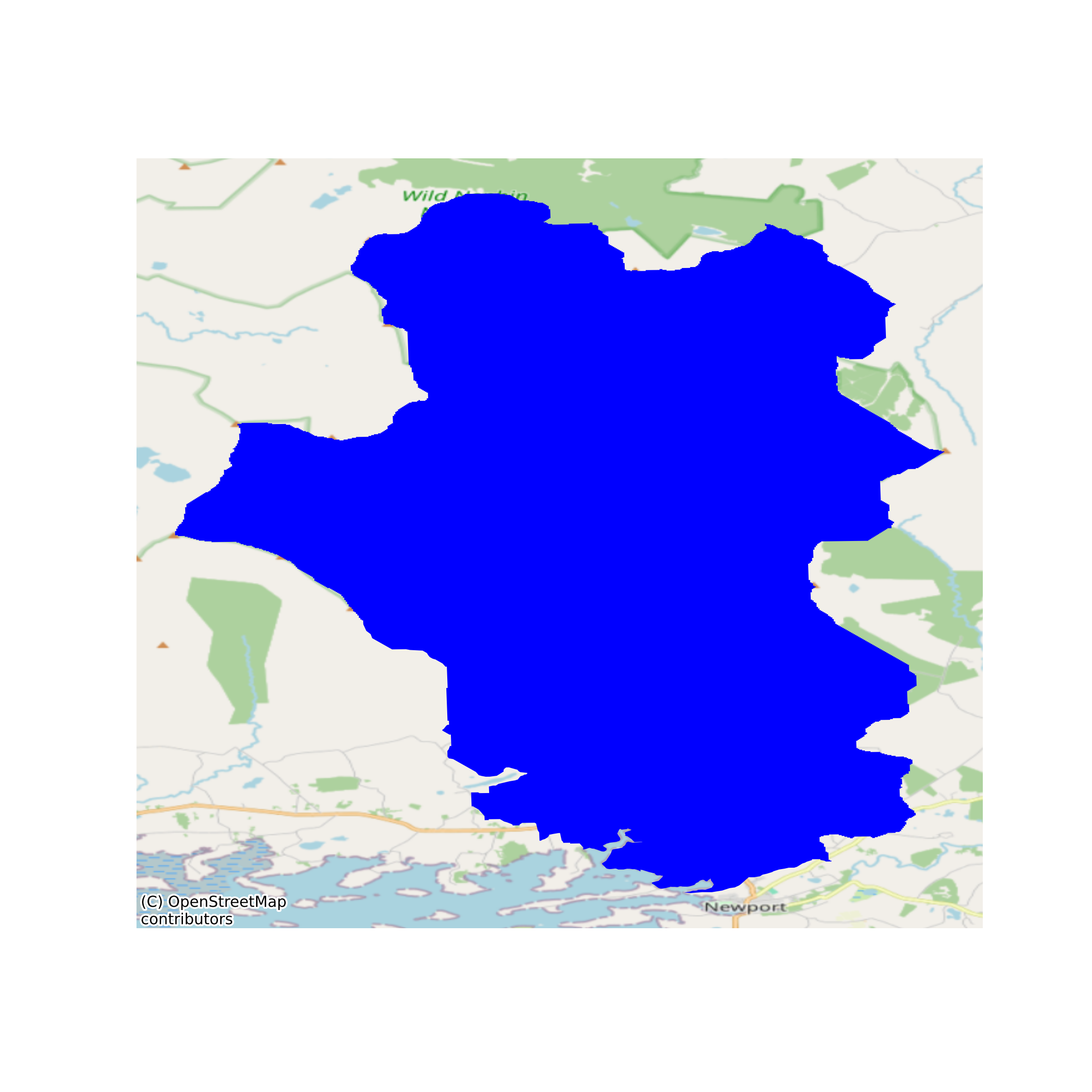
Water colour is measured routinely in the Burrishoole catchment at several different locations as part of the ongoing LTER (long term ecological research) program of monitoring. Water colour is a good proxy measurement of DOC (Dissolved Organic Carbon). This dataset is compilation of approximately weekly measurements taken at three locations (Black River, Glenamong River and Srahrevagh River) between 2004 and 2016. The dataset also includes hydrological, meteorological and climatological variables related to the control of water colour. Black river measurement: 53.966715, -9.580201 Srahrevagh River measurement: 53.982855, -9.560761 Glenamong River measurement: 53.960765, -9.604465 Newport Automatic weather station: 53.923653, -9.572657 None
Suggested Citation: Doyle, Brian; Dillane, Mary; de Eyto, Elvira; Cooney, Joseph; Hughes, Pat; Murphy, Michael; Nixon, Pat; Sweeney, David; Poole, Russell; Ryder, Elizabeth; Jennings, Eleanor. (2018) Burrishoole catchment water colour measurements, and associated environmental drivers. Marine Institute, Ireland. doi:10/crq4.
Simple
- Date (Publication)
- 2018-10-03
- Date (Revision)
- 2019-04-15
- Date (Creation)
- 2018-10-03
- Citation identifier
- ie.marine.data:dataset.2803
- Citation identifier
- 10/crq4
- Other citation details
-
Doyle, Brian; Dillane, Mary; de Eyto, Elvira; Cooney, Joseph; Hughes, Pat; Murphy, Michael; Nixon, Pat; Sweeney, David; Poole, Russell; Ryder, Elizabeth; Jennings, Eleanor. (2018) Burrishoole catchment water colour measurements, and associated environmental drivers. Marine Institute, Ireland. doi:10/crq4.
- Point of contact
-
Organisation name Individual name Electronic mail address Role Marine Institute
Originator
- Maintenance and update frequency
- As needed
- Use limitation
-
While every effort is made in preparing the dataset no responsibility is accepted by or on behalf of the Marine Institute for any errors, omissions or misleading information. The Marine Institute accepts no responsibility for loss or damage occasioned or claimed to have been occasioned, in part or in full, as a consequence of any person acting, or refraining from acting as a result of a matter contained in this datasets or as a consequence of using this dataset for any purpose whatsoever.
- Use limitation
-
A Creative Commons (CC) license is one of several public copyright licenses that enable the free distribution of an otherwise copyrighted work. A CC license is used when an author wants to give people the right to share, use, and build upon a work that they have created. Under Creative Commons CC BY 4.0 the following is granted: Rights Share — copy and redistribute the material in any medium or format; Adapt — remix, transform, and build upon the material for any purpose, even commercially. The licensor cannot revoke these freedoms as long as you follow the license terms. Requirements Attribution — You must give appropriate credit, provide a link to the license, and indicate if changes were made. You may do so in any reasonable manner, but not in any way that suggests the licensor endorses you or your use. No additional restrictions — You may not apply legal terms or technological measures that legally restrict others from doing anything the license permits.
- Access constraints
- CC%20BY%204.0
- Spatial representation type
- Vector
- Language
- English
- Begin date
- 2011-01-03
- End date
- 2016-12-26
))
- Reference system identifier
- INSPIRE RS registry / http://www.opengis.net/def/crs/EPSG/0/3857
- Distribution format
-
Name Version CSV
- OnLine resource
-
Protocol Linkage Name WWW:DOWNLOAD-1.0-http--download
https://data.marine.ie/data/fa37ec81-7aec-4e9d-92f2-c79ff36716fb/fa37ec81-7aec-4e9d-92f2-c79ff36716fb.csv CSV
- OnLine resource
-
Protocol Linkage Name WWW:LINK-1.0-http--link
http://www.marine.ie
- Hierarchy level
- Dataset
Conformance result
- Title
-
Commission Regulation (EU) No 1089/2010 of 23 November 2010 implementing Directive 2007/2/EC of the European Parliament and of the Council as regards interoperability of spatial data sets and services
- Date (Publication)
- 2010-12-08
- Explanation
-
See the referenced specification
- Pass
- Yes
- Statement
-
Data supplied by Marine Institute.
Metadata
- File identifier
- ie.marine.data:dataset.2803 XML
- Metadata language
- English
- Hierarchy level
- Dataset
- Date stamp
- 2019-04-15
- Metadata standard name
-
ISDI Metadata Profile
- Metadata standard version
-
1.2
- Metadata author
-
Organisation name Individual name Electronic mail address Role Marine Institute
Point of contact
- Dataset URI
-
10.20393/fa37ec81-7aec-4e9d-92f2-c79ff36716fb
)))
