 Irish Spatial Data Exchange
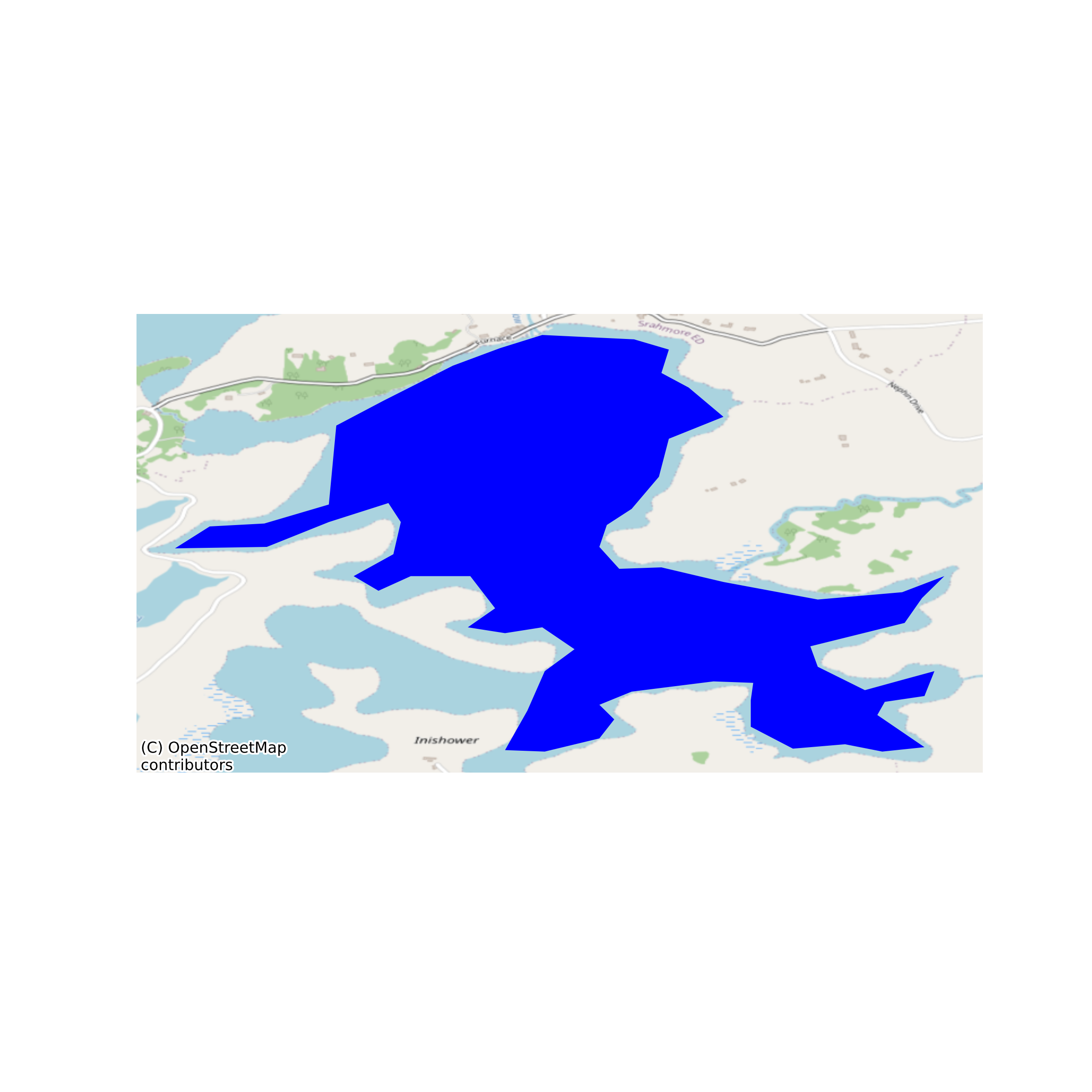
Lough Furnace Automatic Water Quality Monitoring Station (AWQMS) profiles 2009-2014
Full water column profiles of temperature, conductivity, pressure and dissolved oxygen are routinely measured in the coastal basin Lough Furnace as part of the LTER (long-term ecological research) monitoring programme. Profiles are measured by a multi-parameter sonde attached to an automated undulating winch that initiates downcasts at 4 daily intervals (00, 06, 12, 18 hours). This dataset includes profiles recorded during the period 2009-2014. Analysis of this dataset can be found here: Kelly, S., Eyto, E. de, Dillane, M., Poole, R., Brett, G., and White, M. (2018). Hydrographic maintenance of deep anoxia in a tidally influenced saline lagoon. Marine and Freshwater Research 69(3) 432-445 https://doi.org/10.1071/MF17199 None
Suggested Citation: Kelly, Sean; Dillane, Mary; de Eyto, Elvira; Cooney, Joseph; Hughes, Pat; Murphy, Michael; Nixon, Pat; Sweeney, David; Poole, Russell; Ryder, Elizabeth. (2018) Lough Furnace Automatic Water Quality Monitoring Station (AWQMS) profiles 2009-2014. Marine Institute, Ireland. doi:10/cs63.
Simple
- Date (Publication)
- 2018-08-21
- Date (Revision)
- 2020-10-29
- Date (Creation)
- 2018-08-21
- Citation identifier
- ie.marine.data:dataset.2752
- Citation identifier
- 10/cs63
- Other citation details
-
Kelly, Sean; Dillane, Mary; de Eyto, Elvira; Cooney, Joseph; Hughes, Pat; Murphy, Michael; Nixon, Pat; Sweeney, David; Poole, Russell; Ryder, Elizabeth. (2018) Lough Furnace Automatic Water Quality Monitoring Station (AWQMS) profiles 2009-2014. Marine Institute, Ireland. doi:10/cs63.
- Point of contact
-
Organisation name Individual name Electronic mail address Role Marine Institute
Originator
- Maintenance and update frequency
- As needed
- Use limitation
-
While every effort is made in preparing the dataset no responsibility is accepted by or on behalf of the Marine Institute for any errors, omissions or misleading information. The Marine Institute accepts no responsibility for loss or damage occasioned or claimed to have been occasioned, in part or in full, as a consequence of any person acting, or refraining from acting as a result of a matter contained in this datasets or as a consequence of using this dataset for any purpose whatsoever.
- Use limitation
-
Standard License Agreement for use of Marine Institute Digital Data that has been requested through the Marine Institute Data Request Service and is not available as open access via a Marine Institute data service.
- Access constraints
- Marine%20Institute%20License
- Spatial representation type
- Vector
- Language
- English
- Begin date
- 2009-02-01
- End date
- 2014-10-29
))
- Reference system identifier
- INSPIRE RS registry / http://www.opengis.net/def/crs/EPSG/0/3857
- Distribution format
-
Name Version CSV
- OnLine resource
-
Protocol Linkage Name WWW:DOWNLOAD-1.0-http--download
https://data.marine.ie/data/657328d9-bbed-4427-ac73-85a2dae184b2.zip CSV
- OnLine resource
-
Protocol Linkage Name WWW:LINK-1.0-http--link
http://www.marine.ie
- Hierarchy level
- Dataset
Conformance result
- Title
-
Commission Regulation (EU) No 1089/2010 of 23 November 2010 implementing Directive 2007/2/EC of the European Parliament and of the Council as regards interoperability of spatial data sets and services
- Date (Publication)
- 2010-12-08
- Explanation
-
See the referenced specification
- Pass
- Yes
- Statement
-
Data supplied by Marine Institute.
Metadata
- File identifier
- ie.marine.data:dataset.2752 XML
- Metadata language
- English
- Hierarchy level
- Dataset
- Date stamp
- 2020-10-29
- Metadata standard name
-
ISDI Metadata Profile
- Metadata standard version
-
1.2
- Metadata author
-
Organisation name Individual name Electronic mail address Role Marine Institute
Point of contact
- Dataset URI
-
10.20393/657328d9-bbed-4427-ac73-85a2dae184b2
)))
