 Irish Spatial Data Exchange
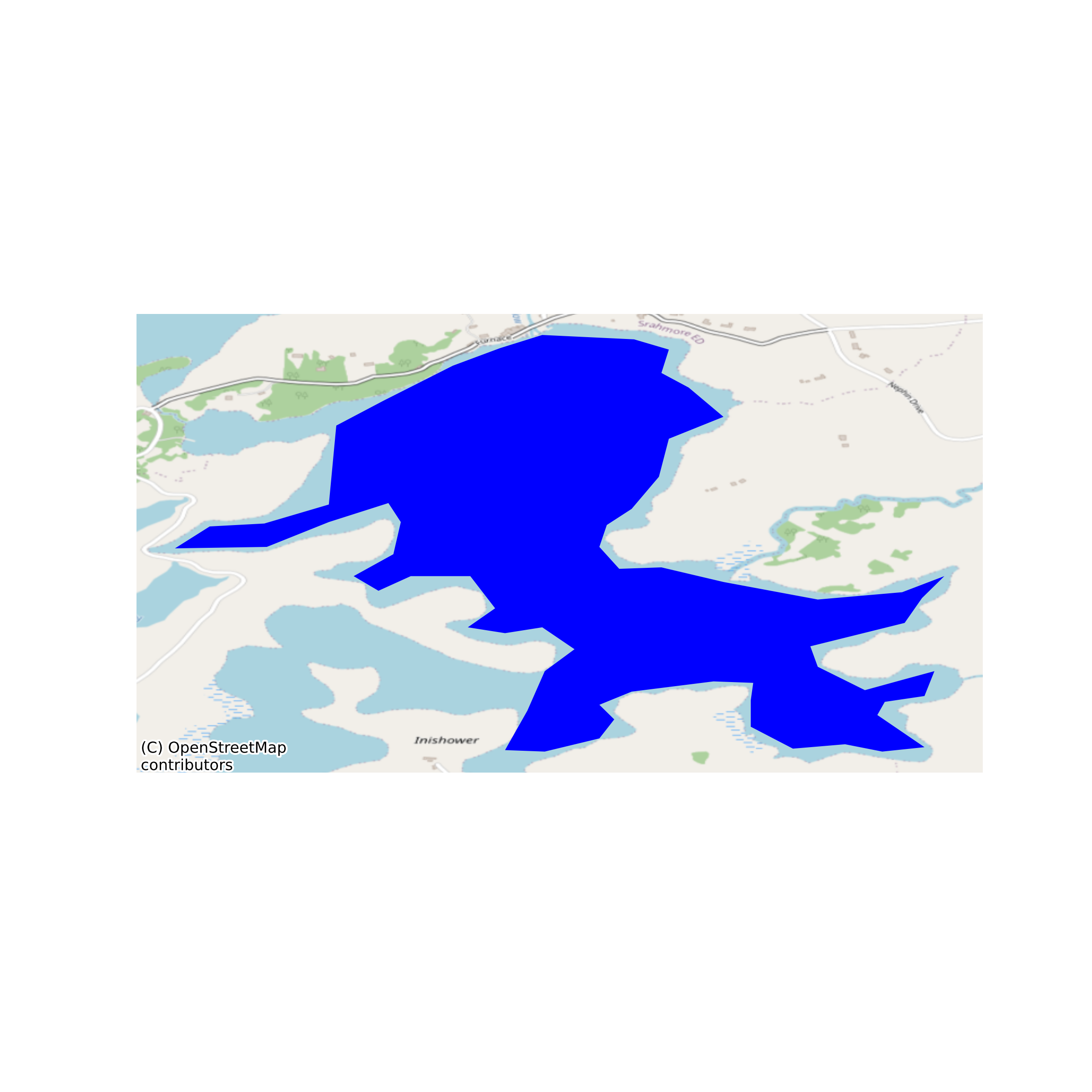
Midnight profiles of chlorophyll fluorescence data from Lough Furnace, 2009-2014 and associated phytoplankton and descriptive data.
Chlorophyll fluorescence (ChlF) is measured routinely in Lough Furnace as part of an ongoing LTER (long term ecological research) program of monitoring. Furnace is a coastal lagoon in the Burrishoole catchment, with a permanently moored AWQMS (automatic water quality monitoring station). ChlF is considered to be a good proxy measurement of phytoplankton biomass. This dataset comprises midnight profiles of ChlF, water temperature, dissolved oxygen concentration and saturation, pH, conductivity and salinity (1. Midnight profiles.csv). The dataset also includes the biomass of phytoplankton groups estimated from spot samples (2. Phytoplankton biovolumes.csv) along with hydrological and meteorological variables describing the environmental conditions over the time period (3. Descriptive data. csv). None
Suggested Citation: de Eyto, Elvira; Dillane, Mary; Cooney, Joseph; Hughes, Pat; Murphy, Michael; Nixon, Pat; Sweeney, David; Poole, Russell; Rouen, Martin; Ryder, Elizabeth; Daly, Sile; O'Cathain, Donncha; Archer, Lorraine. (2018) Midnight profiles of chlorophyll fluorescence data from Lough Furnace, 2009-2014 and associated phytoplankton and descriptive data. Marine Institute, Ireland. doi:10/csgf.
Simple
- Date (Publication)
- 2018-07-23
- Date (Revision)
- 2020-10-29
- Date (Creation)
- 2018-07-23
- Citation identifier
- ie.marine.data:dataset.2740
- Citation identifier
- 10/csgf
- Other citation details
-
de Eyto, Elvira; Dillane, Mary; Cooney, Joseph; Hughes, Pat; Murphy, Michael; Nixon, Pat; Sweeney, David; Poole, Russell; Rouen, Martin; Ryder, Elizabeth; Daly, Sile; O'Cathain, Donncha; Archer, Lorraine. (2018) Midnight profiles of chlorophyll fluorescence data from Lough Furnace, 2009-2014 and associated phytoplankton and descriptive data. Marine Institute, Ireland. doi:10/csgf.
- Point of contact
-
Organisation name Individual name Electronic mail address Role Marine Institute
Originator
- Maintenance and update frequency
- As needed
- Use limitation
-
While every effort is made in preparing the dataset no responsibility is accepted by or on behalf of the Marine Institute for any errors, omissions or misleading information. The Marine Institute accepts no responsibility for loss or damage occasioned or claimed to have been occasioned, in part or in full, as a consequence of any person acting, or refraining from acting as a result of a matter contained in this datasets or as a consequence of using this dataset for any purpose whatsoever.
- Use limitation
-
Standard License Agreement for use of Marine Institute Digital Data that has been requested through the Marine Institute Data Request Service and is not available as open access via a Marine Institute data service.
- Access constraints
- Marine%20Institute%20License
- Spatial representation type
- Vector
- Language
- English
- Begin date
- 2009-01-01
- End date
- 2014-12-31
))
- Reference system identifier
- INSPIRE RS registry / http://www.opengis.net/def/crs/EPSG/0/3857
- Distribution format
-
Name Version CSV
- OnLine resource
-
Protocol Linkage Name WWW:DOWNLOAD-1.0-http--download
https://data.marine.ie/data/f0257b6e-c55e-4aff-9a68-1c755e3dd8ed.zip CSV
- OnLine resource
-
Protocol Linkage Name WWW:LINK-1.0-http--link
http://www.marine.ie
- Hierarchy level
- Dataset
Conformance result
- Title
-
Commission Regulation (EU) No 1089/2010 of 23 November 2010 implementing Directive 2007/2/EC of the European Parliament and of the Council as regards interoperability of spatial data sets and services
- Date (Publication)
- 2010-12-08
- Explanation
-
See the referenced specification
- Pass
- Yes
- Statement
-
Data supplied by Marine Institute.
Metadata
- File identifier
- ie.marine.data:dataset.2740 XML
- Metadata language
- English
- Hierarchy level
- Dataset
- Date stamp
- 2020-10-29
- Metadata standard name
-
ISDI Metadata Profile
- Metadata standard version
-
1.2
- Metadata author
-
Organisation name Individual name Electronic mail address Role Marine Institute
Point of contact
- Dataset URI
-
10.20393/f0257b6e-c55e-4aff-9a68-1c755e3dd8ed
)))
