 Irish Spatial Data Exchange
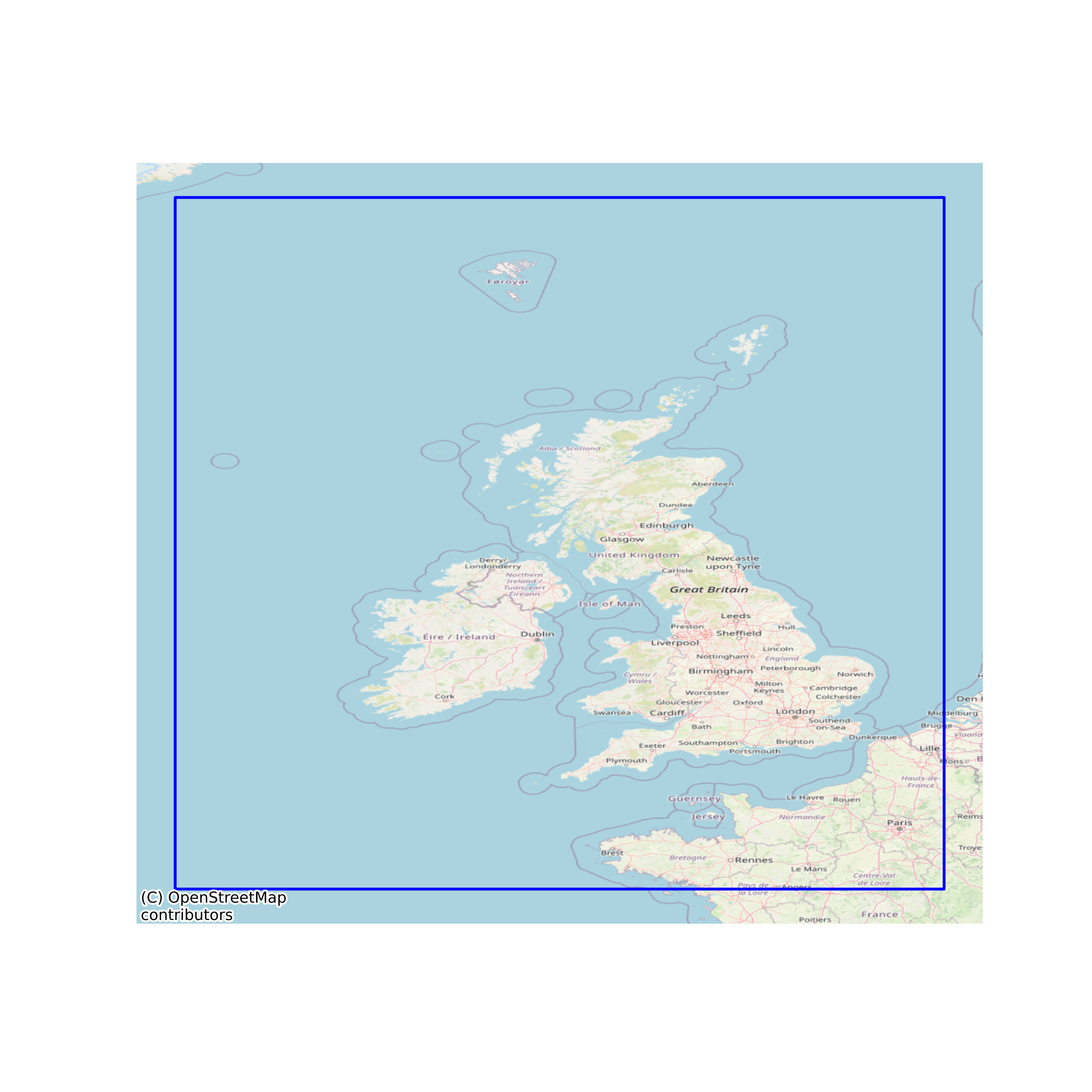
UK Ireland Exclusive Economic Zone
An exclusive economic zone extends from the outer limit of the territorial sea to a maximum of 200 nautical miles (370.4 km; 230.2 mi) from the territorial sea baseline, thus it includes the contiguous zone. A coastal nation has control of all economic resources within its exclusive economic zone, including fishing, mining, oil exploration, and any pollution of those resources. However, it cannot prohibit passage or loitering above, on, or under the surface of the sea that is in compliance with the laws and regulations adopted by the coastal State in accordance with the provisions of the UN Convention, within that portion of its exclusive economic zone beyond its territorial sea. Before the United Nations Convention on the Law of the Sea of 1982, coastal nations arbitrarily extended their territorial waters in an effort to control activities which are now regulated by the exclusive economic zone. The exclusive economic zone is still popularly, though erroneously, called a coastal nation's territorial waters. The limits and boundaries of the UK, UK Overseas Territories and UK Crown Dependencies are available from this website in accordance with Articles 16, 74 and 84 of the United Nations Convention on the Law of the Sea. Limits are calculated from the normal baseline (the low water line on the largest UKHO charts) and limits are maintained by UK Hydrographic Office. Please note that these limits will only be updated annually. None
Simple
- Date (Publication)
- 2018-02-01
- Date (Revision)
- 2023-06-01
- Date (Creation)
- 2018-02-01
- Citation identifier
- ie.marine.data:dataset.2150
- Point of contact
-
Organisation name Individual name Electronic mail address Role UK Hydrographic Office
Originator
- Maintenance and update frequency
- As needed
- Use limitation
-
While every effort is made in preparing the dataset no responsibility is accepted by or on behalf of the Marine Institute for any errors, omissions or misleading information. The Marine Institute accepts no responsibility for loss or damage occasioned or claimed to have been occasioned, in part or in full, as a consequence of any person acting, or refraining from acting as a result of a matter contained in this datasets or as a consequence of using this dataset for any purpose whatsoever.
- Access constraints
- Other
- Spatial representation type
- Vector
- Language
- English
- Begin date
- 2020-06-07
- End date
- 2020-06-07
))
- Reference system identifier
- INSPIRE RS registry / http://www.opengis.net/def/crs/EPSG/0/3857
- Distribution format
-
Name Version Web Feature Service
Web Map Service
- OnLine resource
-
Protocol Linkage Name WWW:LINK-1.0-http--link
https://www.gov.uk/government/organisations/uk-hydrographic-office
- OnLine resource
-
Protocol Linkage Name OGC:WFS
https://datahub.admiralty.co.uk/server/rest/services/Hosted/UK_Ireland_EEZ_Boundary/FeatureServer/0/query?outFields=*&where=1%3D1 Web Feature Service
- OnLine resource
-
Protocol Linkage Name OGC:WMS
https://atlas.marine.ie/midata/AdministrativeUnits/United_Kingdom_Exclusive_Economic_Zone.shapezip.zip Web Map Service
- Hierarchy level
- Dataset
Conformance result
- Title
-
Commission Regulation (EU) No 1089/2010 of 23 November 2010 implementing Directive 2007/2/EC of the European Parliament and of the Council as regards interoperability of spatial data sets and services
- Date (Publication)
- 2010-12-08
- Explanation
-
See the referenced specification
- Pass
- Yes
- Statement
-
Data supplied by Marine Institute.
Metadata
- File identifier
- ie.marine.data:dataset.2150 XML
- Metadata language
- English
- Hierarchy level
- Dataset
- Date stamp
- 2023-06-01
- Metadata standard name
-
ISDI Metadata Profile
- Metadata standard version
-
1.2
- Metadata author
-
Organisation name Individual name Electronic mail address Role Marine Institute
Point of contact
)))
